Urban Image Mapping
Beijing City Image Data Analysis
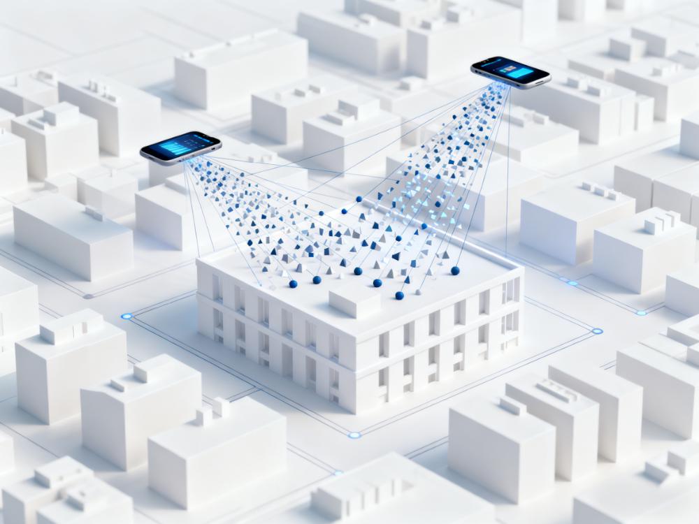
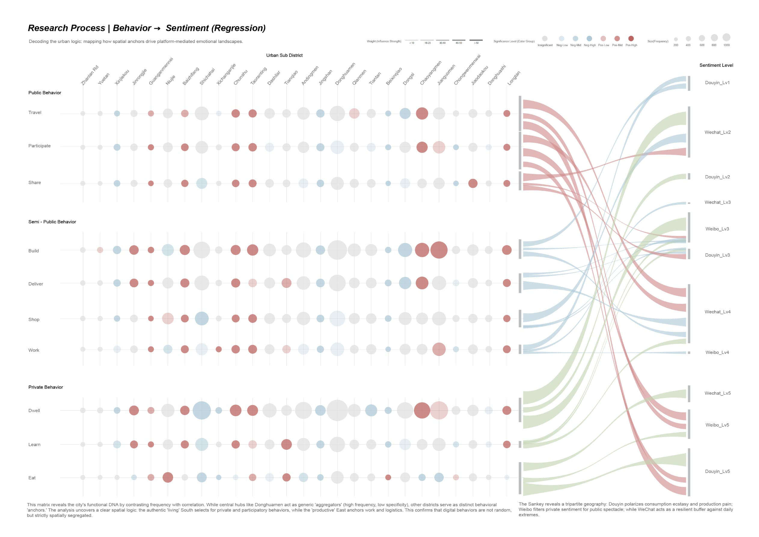
Analyzed 40,000+ street view images using DPT models to extract urban features and correlated them with social sentiment data.
Keywords:Urban Computing, Sentiment Analysis, Stayable Analysis
Role:Computational Designer
Team:Individual
Technique:Python (NLP/DPT), ArcGIS, Baidu Map API, Adobe Suite
Date:08/2025
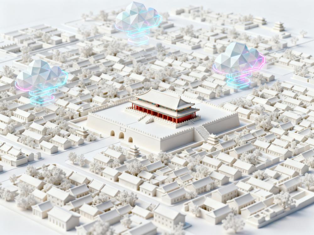
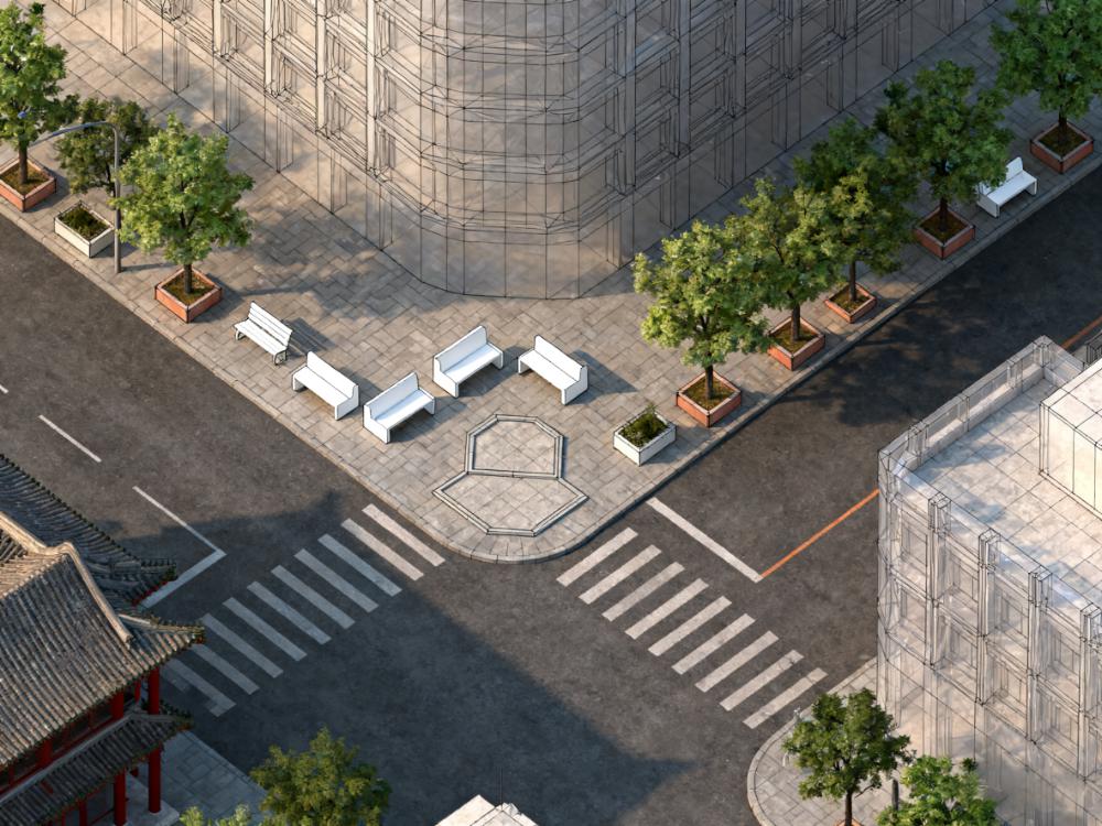
Mapping the invisible emotional layer of the city onto its physical fabric.
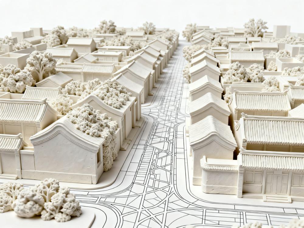
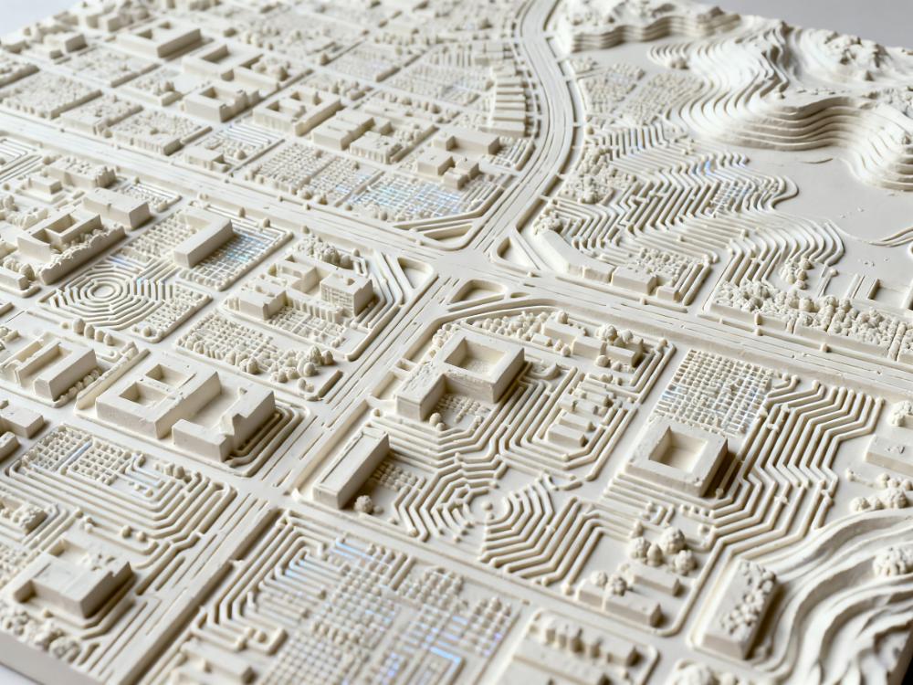
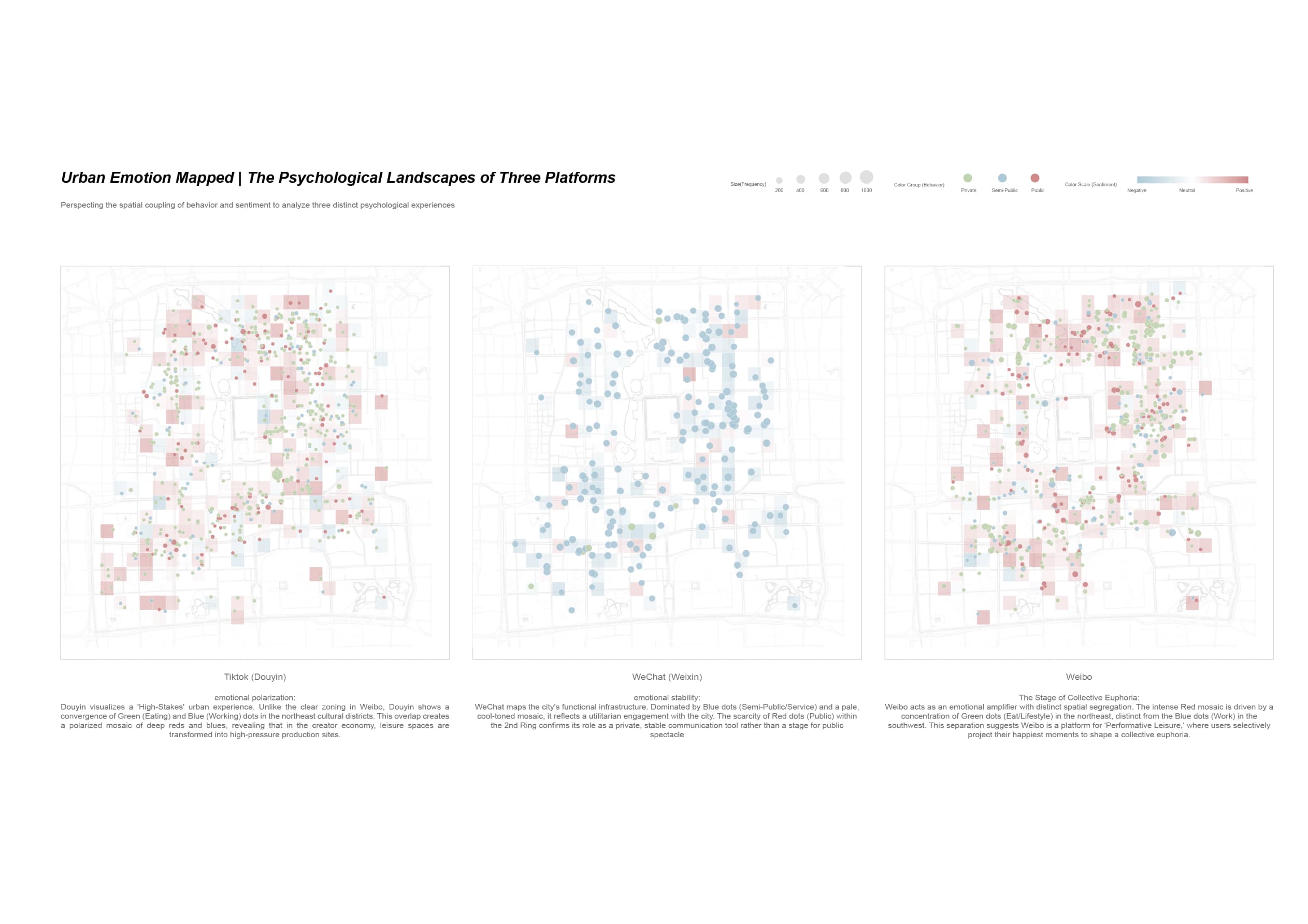
This project investigates the dissonance between the physical affordance of Beijing's historic core and its digital perception. By integrating computer vision (DPT model) to analyze 40,000+ street view images and NLP to cluster 60,000+ social media texts, the study decodes the urban interface of the Second Ring Road.
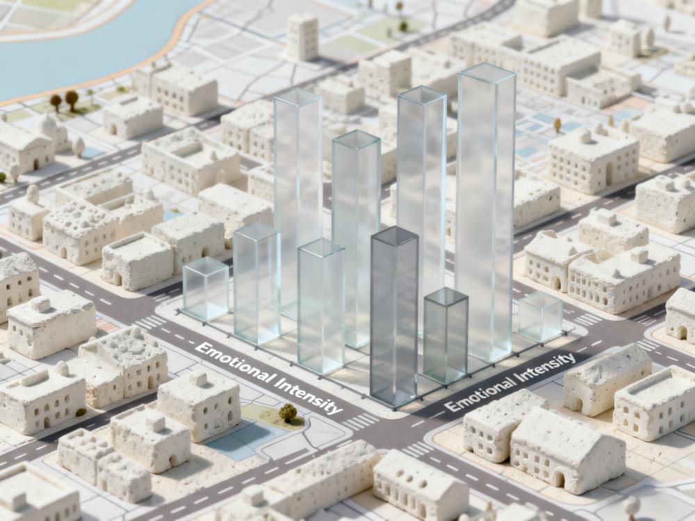
The outcome is a comparative atlas visualized in ArcGIS that maps emotional intensity against physical spatial features. It reveals how specific urban elements—like shading and seating—trigger distinct digital sentiments, offering a data-driven critique of the contemporary public realm.
Thanks for reading